West Bengal Land Demarcation and Boundary Correction Guide
If you own land in West Bengal, land demarcation may sometimes be needed to set boundaries or correct errors in your land records. This could be due to disputes with neighbors, old or incorrect survey data, or administrative mistakes. The government provides online and offline ways to apply for land demarcation and boundary correction.
Why Land Demarcation & Boundary Correction is Important
Prevent conflicts with neighbors over land limits.
Make sure your land records are accurate and official.
Selling, mortgaging, or transferring property is smoother with correct records.
Avoid future legal issues due to incorrect or outdated land boundaries.
Step-by-Step Guide to Apply
Collect Required Documents:
Make sure you have these documents ready
1.Khatian and Plot Number
2.Land survey map (if available)
3.Proof of ownership (sale deed, mutation certificate, or Khatiyan copy)
4.ID proof (Aadhaar, voter ID, or passport)
5.Neighbor consent documents (if required for boundary correction)
Visit the Local Revenue Office or Online Portal:
You can apply either:
1.Offline: Visit your Block Land & Revenue Office or Sub-Divisional Office.
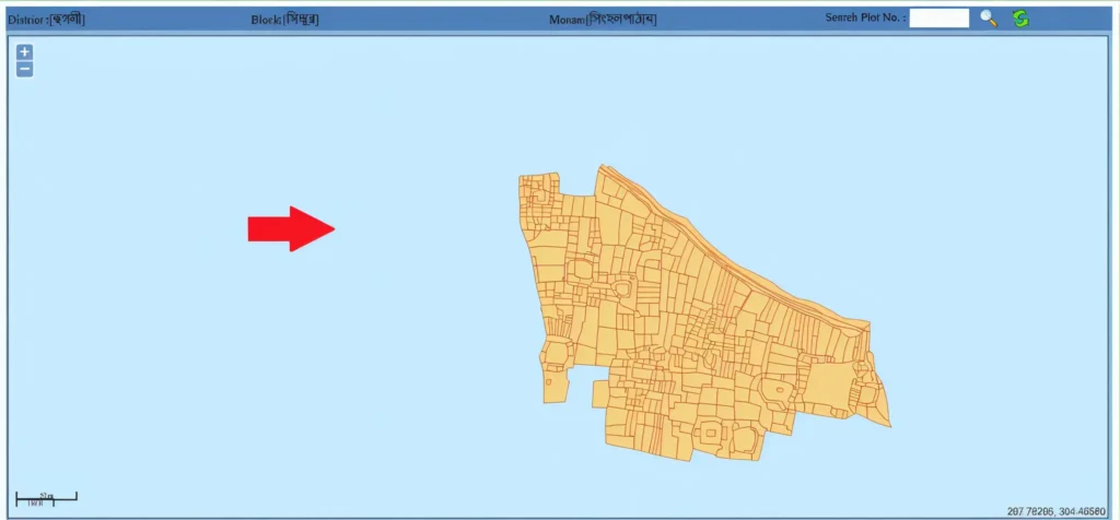
2.Online: Go to the Banglarbhumi portal and select “Citizen Services → Land Demarcation/Boundary Correction”.
Fill Out the Application:
1.Provide accurate land details: district, block, mouza, khatian, and plot number.
2.Mention the type of correction needed (boundary adjustment, survey correction, etc.).
3.Attach required documents.
Submit the Application & Pay Fees:
1.Submit your application online or at the office.
2.Pay the applicable fees, which vary depending on the type of correction.
Schedule Demarcation Survey:
1.Once your application is accepted, the revenue officer or survey team will schedule a site visit to verify boundaries.
2.Markers or boundaries may be checked or re-measured.
3.Neighbor consent may be obtained if required.
Receive Updated Land Records
1.After the survey, your land records will be updated, and you can:
2.Download the updated Khatiyan online.
Collect official boundary correction certificates from the local office.
Understanding the Fees for Boundary Correction
The fees for land demarcation and boundary correction depend on the size of the land and type of correction. Standard charges are applied by the local revenue office, and payments can usually be made online or at the office.
Timeline for Land Demarcation and Correction
The entire process usually takes a few weeks to a few months, depending on the availability of survey teams and the complexity of the land boundaries. Tracking your application online helps you stay updated.
Common Mistakes to Avoid
Incorrect land details: Always verify plot and khatian numbers.
Missing documents: Submit all required papers to avoid delays.
Ignoring neighbor consent: Required for shared boundary adjustments.
Not following up: Keep track of the survey and status updates.
How to Track Your Application Status
You can check the status of your application online through the Banglarbhumi portal. Simply enter your application ID or survey number to see updates.
Legal Implications of Incorrect Land Boundaries
Having incorrect or outdated land records can lead to:
What to Do If a Dispute Arises
If there’s a conflict with neighbors regarding boundaries:
FAQs
Final Thoughts
Checking and correcting your land boundaries ensures your records are accurate, prevents disputes, and makes property transactions smoother. Whether applying online or offline, accurate documents and correct information are key to a smooth process.